Forest Monitoring
Date
Client
Website
Location
About this project
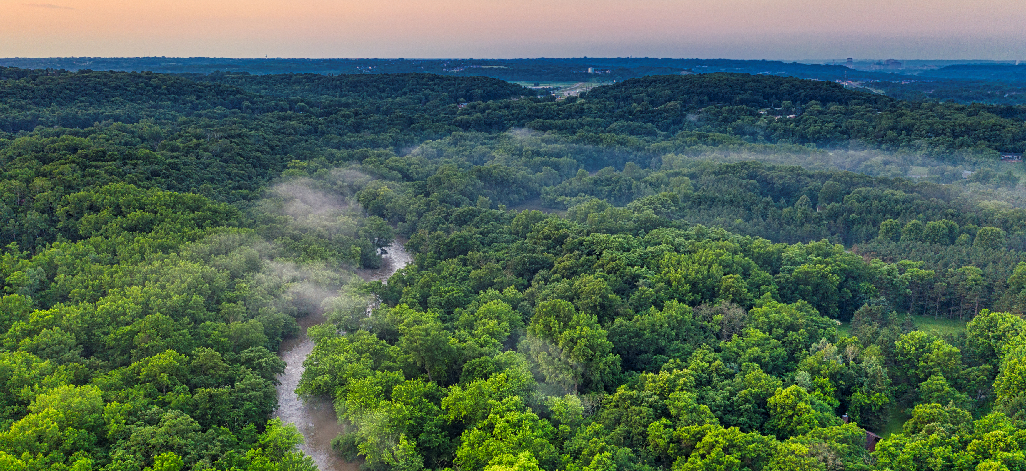
Excel Geomatics RDC offers comprehensive forest monitoring tools to help manage and protect forest ecosystems. Our sophisticated remote sensing and mapping technologies provide in-depth information on the biodiversity, health, and temporal variations of forests. We provide accurate mapping and monitoring of forest regions, enabling the detection of deforestation, illicit logging, forest degradation, and the effects of climate change. We do this by using high-resolution satellite imagery, LiDAR data, and drone surveys.
Real-time data analysis and visualization capabilities are part of our Forest Monitoring systems, which assist conservationists and forest managers in making wise decisions. We provide features including mapping species habitats, estimating biomass, assessing carbon stocks, and detecting forest fires. By enabling proactive management techniques, these instruments guarantee the biodiversity of the forest and the sustainable use of its resources. The user-friendly platform of Excel Geomatics RDC makes it simple to access historical data, trend analysis, and bespoke reports, which promotes efficient stakeholder communication and decision-making. You can make sure that forest ecosystems are managed sustainably and preserved for future generations by using our forest monitoring solutions.