Agriculture Land Analysis And Crop Monitoring
Date
Client
Website
Location
About this project
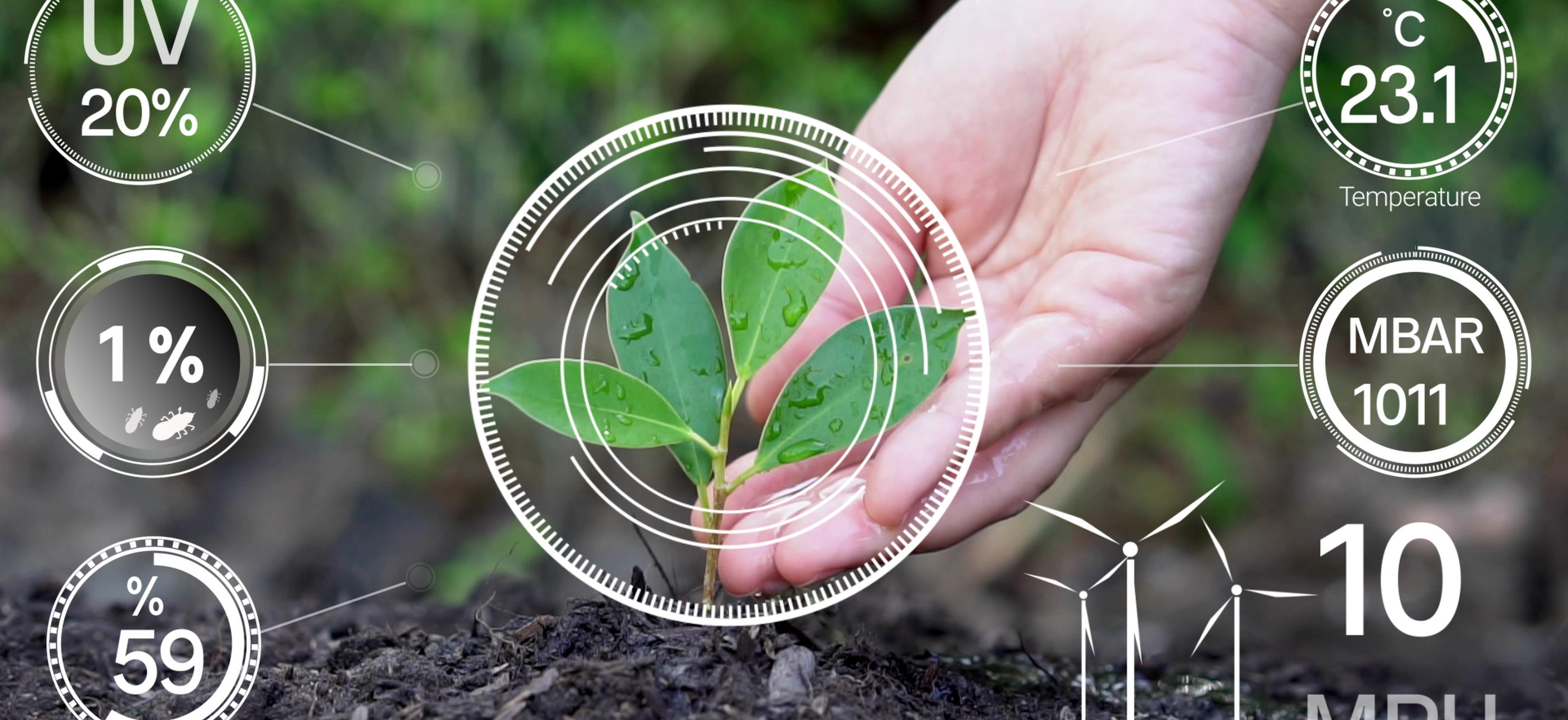
With the goal of providing farmers and agribusinesses with accurate and useful information, Excel Geomatics RDC provides state-of-the-art Agriculture Land Analysis and Crop Monitoring solutions. Our solutions use remote sensing and cutting-edge geospatial technology to assess crop conditions, land appropriateness, and soil health. We offer complete monitoring services that facilitate the early diagnosis of problems including pest infestations, nutrient deficits, and water stress by combining satellite imaging, drone data, and on-ground sensors.
Our technology helps farmers make educated decisions about crop management, fertilization, and irrigation by providing real-time data visualization and predictive analytics. Our system's insights help to maximize crops, allocate resources efficiently, and improve overall farm output. Farmers will also have simple access to trend analysis, historical data, and customizable reports thanks to our user-friendly interface, which guarantees they have all the information they need on hand. With Excel Geomatics RDC's Agriculture Land Analysis and Crop Monitoring solutions, agricultural stakeholders can achieve sustainable farming practices, improve crop quality, and increase profitability.