Urban Information System
Date
Client
Website
Location
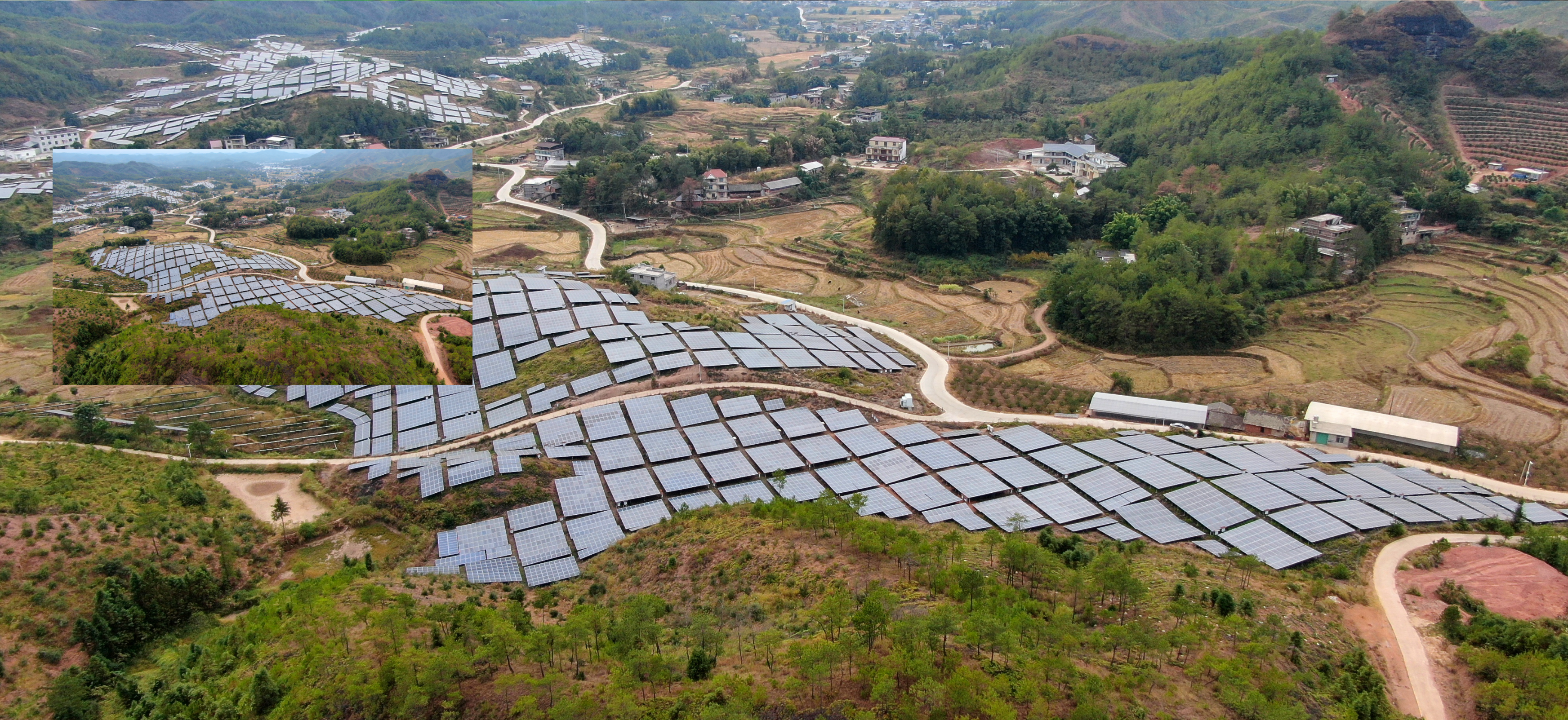
About this project
An Urban Information System (UIS) is a complete platform intended for efficient management and analysis of several facets of urban government and growth. Excel Geomatics RDC specializes in offering customized UIS solutions to support urban planning, management, and decision-making processes. These solutions incorporate geospatial data, technology, and analytics.
Key Features of Urban Information Systems:
Mapping and Analysis in Geospatial maps utilities, land use, transportation networks, urban infrastructure, and demographic information using GIS technology. provide access to spatial analysis tools that are essential for spotting patterns, trends, and spatial relationships in urban planning.
Data Management and Integration: Combines information from a variety of sources, such as administrative documents, sensor data, satellite imagery, and data created by citizens. uses scalable, safe databases for data management to guarantee dependability and accessibility.
Infrastructure Management: Enables the administration of urban infrastructure assets, including utilities, parks, buildings, and roadways. allows for improved service delivery through asset tracking, maintenance scheduling, and infrastructure optimization.
Tools for Decision Support: Predictive analytics, scenario modeling, and interactive dashboards are used to help make decisions. allows stakeholders to evaluate the effects of urban growth, create evidence-based policies, and simulate various scenarios.
Citizen Engagement and Service Delivery: Encourages public participation via web portals, mobile apps, and interactive maps. improves communication between citizens and urban authorities, making it easier to seek services, gather feedback, and involve the community.
Urban Resilience and Sustainability: Handles issues with disaster risk reduction, sustainable development, and adaptation to climate change. gives resources for risk assessment, environmental parameter monitoring, and resilient urban planning techniques.
Through the use of technology and spatial data, Excel Geomatics RDC's Urban Information System enables cities and municipalities to effectively manage their urban areas, build infrastructure, and promote sustainable growth. Our technologies aid in the development of intelligent and resilient urban settings by improving decision-making procedures and encouraging public engagement.