GIS based Water Governance System
Date
Client
Website
Location
About this project
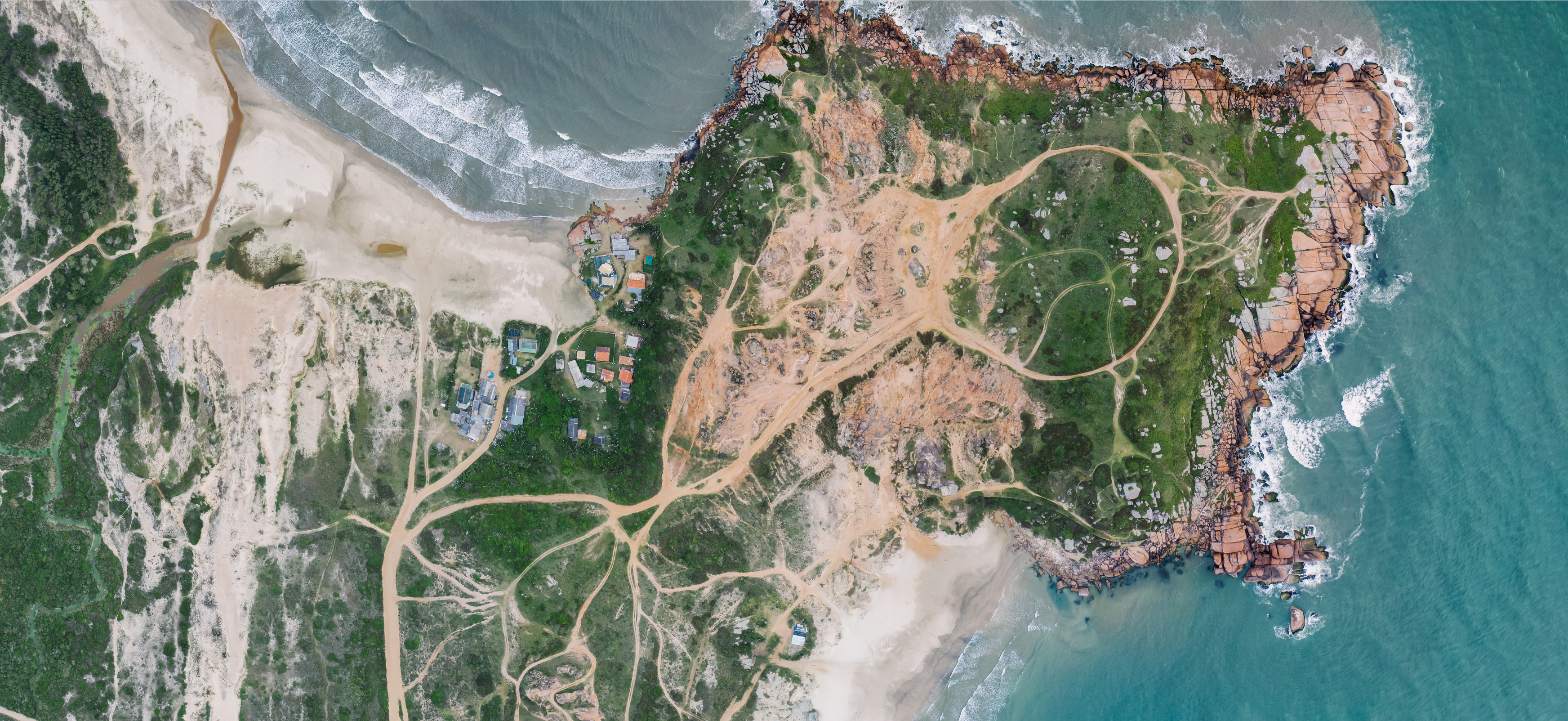
A innovative GIS-based water governance system from Excelgeomatics RDC is available to improve the distribution, management, and preservation of water resources. Our system uses geospatial technology to offer comprehensive answers to problems related to water governance.
Key Features:
Important characteristics:
Real-Time Monitoring: To ensure effective resource management, monitor water levels, quality, and usage in real-time across several regions.
Data Integration: To obtain a comprehensive picture of water resources, integrate data from multiple sources, including sensors, satellite photography, and historical documents.
Resource Management: Apply predictive modeling and advanced analytics to maximize the distribution and utilization of water resources.
Risk management: Using proactive planning and early warning systems, identify and reduce the hazards associated with flooding, contaminants, and a shortage of water.
Regulatory Compliance: By using automated reporting and documentation tools, you may make sure that local, national, and international water regulations are followed.
Public Engagement: Increase openness and public involvement by giving stakeholders and the community accurate and easily available information about water resources.